Please use this identifier to cite or link to this item:
https://hdl.handle.net/20.500.14279/24180| Title: | Remote Sensing, Land Use/Land Cover Data and Example of Their Harmonisation by Lena Halounova |
| Authors: | EXCELSIOR |
| Major Field of Science: | Engineering and Technology |
| Issue Date: | 31-Mar-2021 |
| Source: | ERATOSTHENES: Excellence Research Centre for Earth Surveillance and Space-Based Monitoring of the Environment, 31 March, 2021 |
| Link: | https://youtu.be/GtdU7o_RXuU |
| Project: | ERATOSTHENES: Excellence Research Centre for Earth Surveillance and Space-Based Monitoring of the Environment |
| Abstract: | Invited Talk : by Prof. Lena Halounova |
| URI: | https://hdl.handle.net/20.500.14279/24180 |
| Type: | Event |
| Affiliation : | Cyprus University of Technology ERATOSTHENES Centre of Excellence |
| Appears in Collections: | Communication Datasets |
Files in This Item:
| File | Description | Size | Format | |
|---|---|---|---|---|
| 20210331_EXCELSIOR_WP9_V1_PU_Y_presentation.pdf.pdf | 12.76 MB | Adobe PDF | View/Open | |
| 20210331_EXCELSIOR_WP9_V1_PU_Y_leaflet.pdf.jpg | 158.94 kB | JPEG | 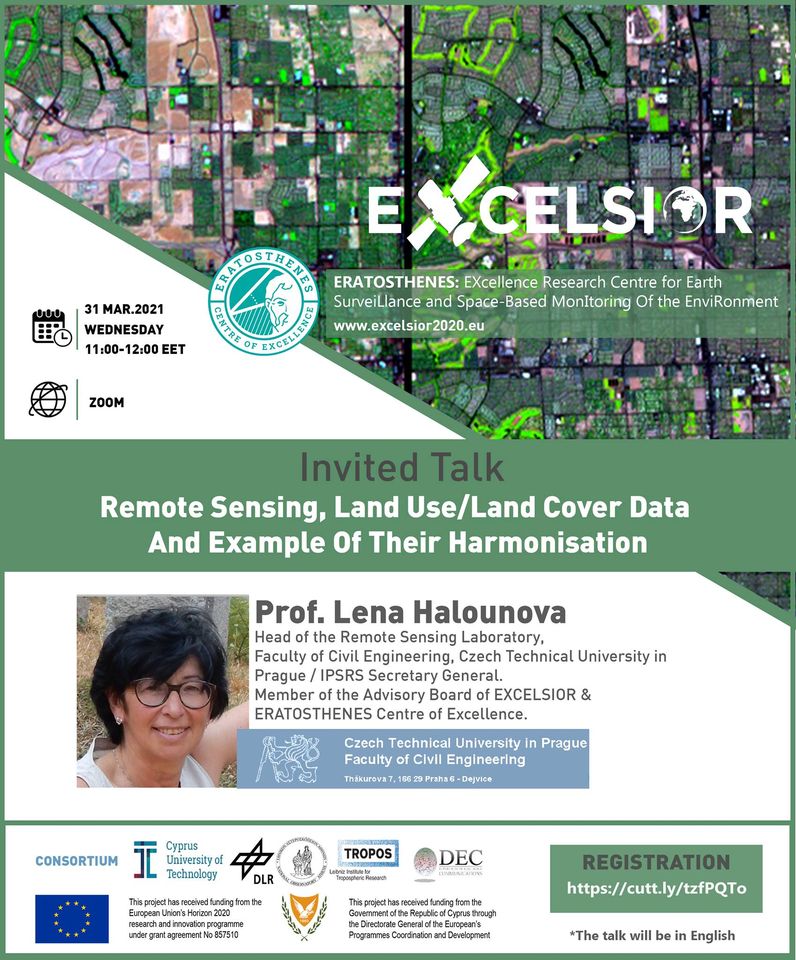 View/Open |
CORE Recommender

Items in KTISIS are protected by copyright, with all rights reserved, unless otherwise indicated.